
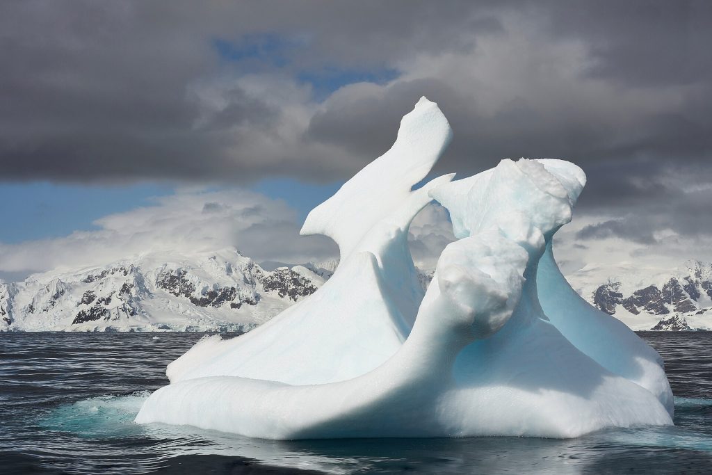
Antarctic Ice: Watching a Continent Change From Space
Antarctica holds enough ice to raise global sea levels by tens of metres, locked in a sheet so vast that its behaviour will shape coastlines for centuries. Nobody expects it to melt quickly. The scientific question is narrower and more urgent: how fast are the vulnerable parts changing, and could some of them pass thresholds beyond which retreat becomes self-sustaining?
The continent is monitored now by an armada of satellites measuring ice height, velocity and gravity, supplemented by robot floats under shelves and rare, heroic field campaigns. Together they have turned a white blank on the map into one of the most closely watched systems on Earth.
What the satellites are seeing
The clearest signal is in West Antarctica, where several large glaciers are thinning and retreating as relatively warm ocean water reaches beneath their floating shelves. The shelves act as corks; thin them, and the grounded ice behind flows faster towards the sea. Satellite records summarised by NASA show this pattern persisting across decades, punctuated by dramatic individual events such as large iceberg calvings.
East Antarctica, larger and colder, is more stable overall, but not uniformly so: some of its outlet glaciers show the same early signs. The total Antarctic contribution to sea level rise is still measured in millimetres per year, yet the rate has grown, and the physics of marine ice sheets contains instabilities that models struggle to time.
Why a few glaciers matter so much
Sea level rise is a global average of very local stories. A single West Antarctic glacier system holds enough ice for metres of eventual rise, and its bed slopes downwards inland, the configuration glaciologists worry about most, because retreat into deeper water can accelerate itself. Whether that threshold is near or distant is arguably the most consequential open question in climate science.
The answer matters for decisions being taken now: flood defences designed for a century, nuclear plants sited on coasts, insurance withdrawn or repriced. Planners increasingly use ranges that include a low-probability, high-impact Antarctic outcome rather than a single central estimate, a shift chronicled in our blog’s coverage of coastal risk.
The case for watching, patiently
There is a temptation to demand certainty before acting, but Antarctic science offers something different: improving odds, updated yearly, by instruments that must be maintained and replaced to keep the record unbroken. Gaps in satellite coverage would be felt for decades, because change is measured against the baseline those instruments established.
The continent itself remains indifferent to the attention. It will change at its own pace, in its own physics, whether watched or not. The watching is for us, so that the coasts where almost everyone lives can be planned with open eyes rather than hopeful ones.
Antarctica is the slowest story in the news and, over a lifetime, may prove the largest. The satellites will keep their vigil either way; what societies do with their data is the variable. More slow stories with large consequences are gathered at our homepage.
An iceberg the size of a county can calve in a day and change nothing fundamental; the slow thinning matters more.
Field scientists still winter on the ice to ground-truth what the satellites infer.
The evidence base is still growing, and researchers are careful to separate what is demonstrated from what is merely plausible at this stage.
For readers trying to judge the headlines, the useful question is always the same: what changed, who measured it, and how large is the effect in ordinary terms?
Policy tends to move more slowly than research, which is why the findings that matter most are usually the ones replicated across several countries and methods.
There is also a distributional question running through the data, because averages hide the groups who gain most and the groups left carrying the costs.
